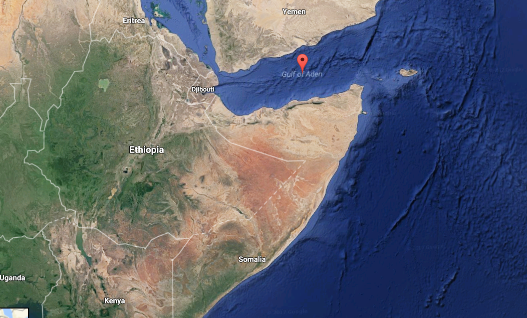

Tropical Cyclone Sagar developed late Wednesday in the Gulf of Aden between Yemen and Somalia, and could become one of the first tropical storms on record to cross the entire Gulf of Aden—perhaps affecting even the tiny nation of Djibouti, where tropical cyclones are virtually unknown.
As of Friday morning, Sagar is a small, compact tropical cyclone with winds estimated believed to be at least 63 km per hour.

The centre of circulation is just off the coast of Yemen and is currently spinning westward toward the Djibouti-Somalia border.
Sagar has been gaining some strength, according to satellite intensity estimates, taking advantage of a favorable environment of low wind shear and water temperatures at least 30 degrees Celsius (86 degrees Fahrenheit).
The main threat from Sagar will be heavy rainfall, with parts of the Yemeni coast, Somalia and Djibouti potentially picking up 2 to 5 inches of rain.
These are substantial totals in desert environments that don’t typically get much moisture, and where the rugged landscape is prone to flash flooding.
If Cyclone Sagar remains over open water and completes the full trip across the western Gulf of Aden it will become only the second tropical storm to do so since satellite surveillance of cyclones began in 1996.
Cyclone Megh made landfall along the Yemeni coast in November 2015.