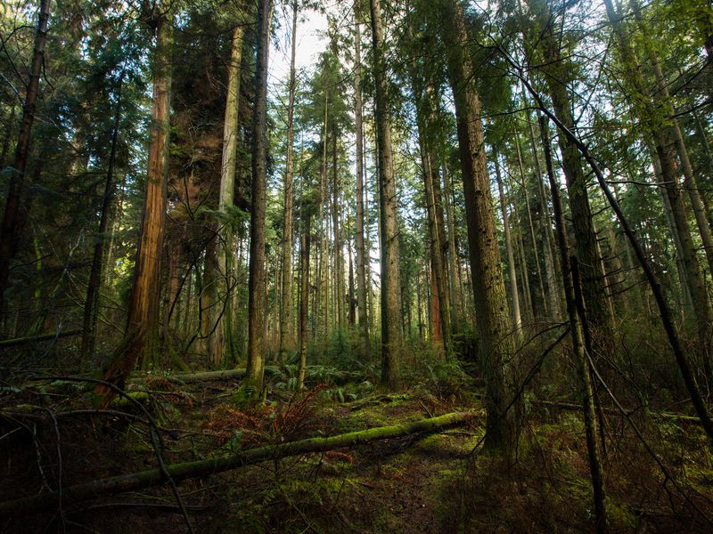

Kenya has resorted to the use of earth observation technology in order to enhance monitoring of degraded forests, an official said on Tuesday.
Jamleck Ndambiri, project manager at the Kenya Forest Service (KFS), said that earth observation technology will help protect and restore tropical forests through better monitoring.
“With the help of satellite data acquisition, ground verification and processing, we intend to assess and monitor national forest cover by mapping previously hard-to-assess forest areas more accurately and timely,” said Ndambiri.
Ndambiri noted that parts of Kenya, particularly the coastal and western regions, experience persistent cloud cover for most of the year, due to their proximity to the Indian Ocean and Lake Victoria water bodies, respectively.
“We have relied on expensive and time-consuming ground surveys to assess and undertake inventory of our forests over the years but this has not worked well,” said Ndambiri.
Local personnel have since been trained from several relevant institutions and disciplines to use the new computing technologies.
Kenya forest mapping project targets some 2,039 square kilometers of Kwale County as a pilot.
“This is a pilot run to develop a competent methodology that, if successful, could be replicated in the whole coastal region and other areas with persistent cloud cover,” said Ndambiri.